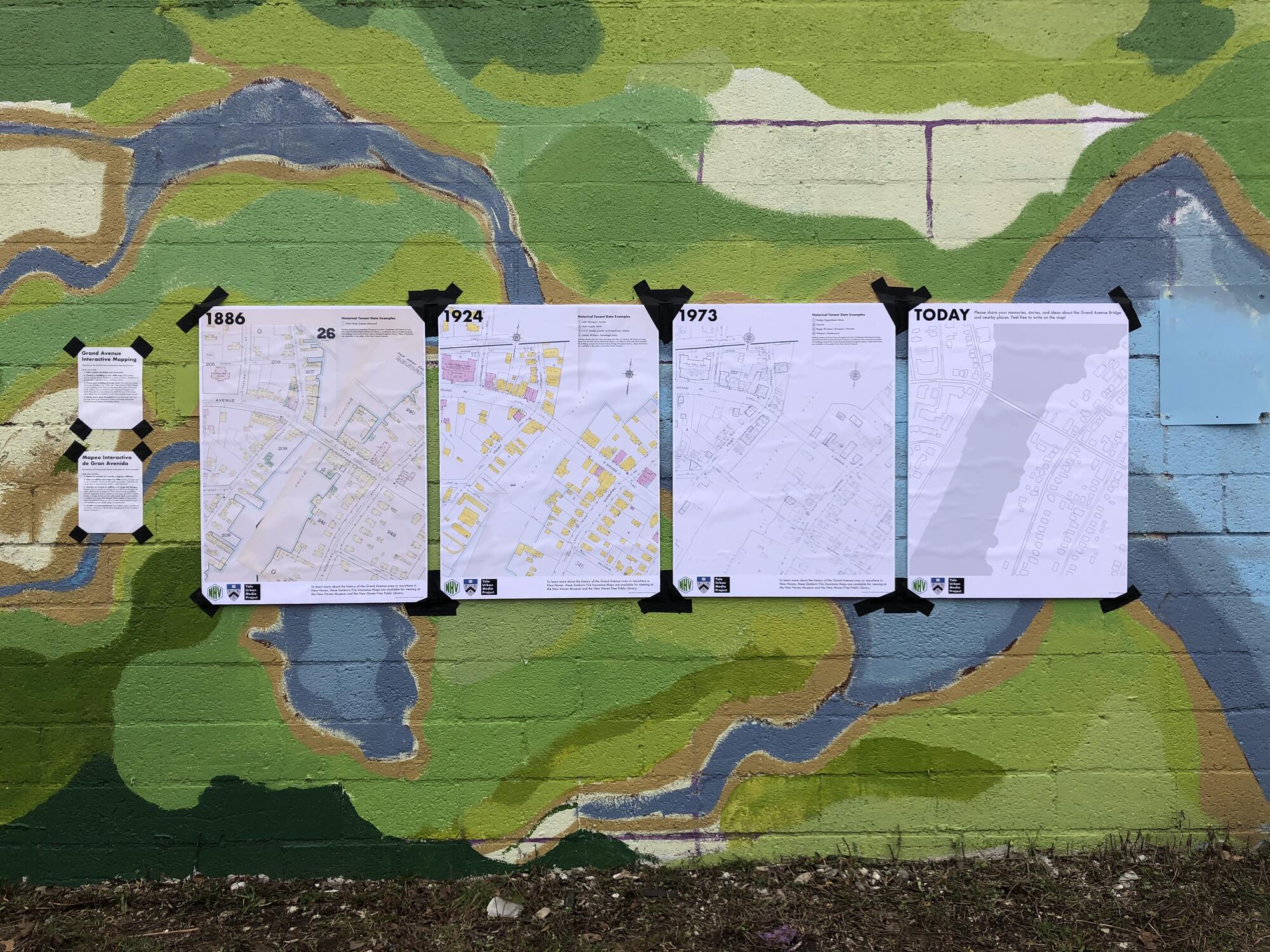
Grand Avenue Interactive Mapping

Grand Avenue Interactive Mapping
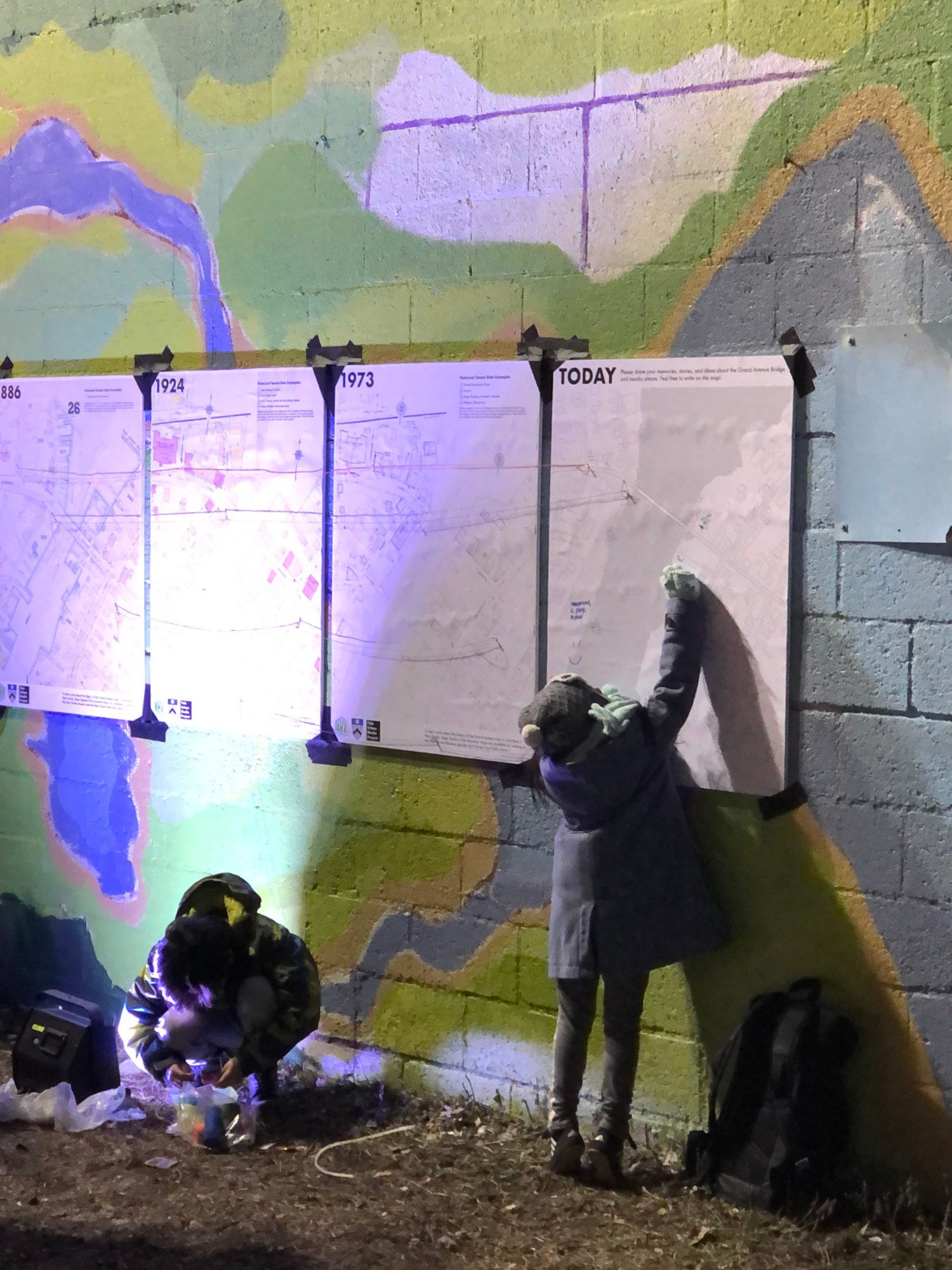
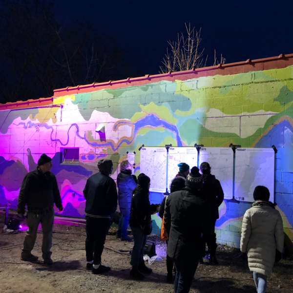
In anticipation a lengthy construction closure of the Grand Avenue Bridge, the New Haven Economic Development Administration hosted an event to celebrate the bridge and engage residents in the surrounding neighborhoods of Fair Haven and Fair Haven Heights.
Participants were tasked with tracking a site in the bridge’s vicinity over time—from 1886 to present day—by physically connecting a sequence of Sanborn fire insurance maps with pins and string. The final part of the sequence, a blank map, was used as a way to imagine the Grand Avenue Bridge area through collective memory. The goal of the activity was to facilitate interaction with the area’s built history and highlight linkages between past and present.
Project Team: Helen Dugmore, Robert Samec, Kapp Singer, Elihu Rubin