Installation
Memory Map Locates Town-Gown Bridge
“On the Collective Memory Map, anyone with a pen could claim authority in defining the unlabeled streets of the city. the resulting diagram revealed the places in New Haven that are especially meaningfuly to each participant, from Popeye’s on Whalley to the old English Station power plant building to the ‘Yale Business School.’”
Elm City Minstrels
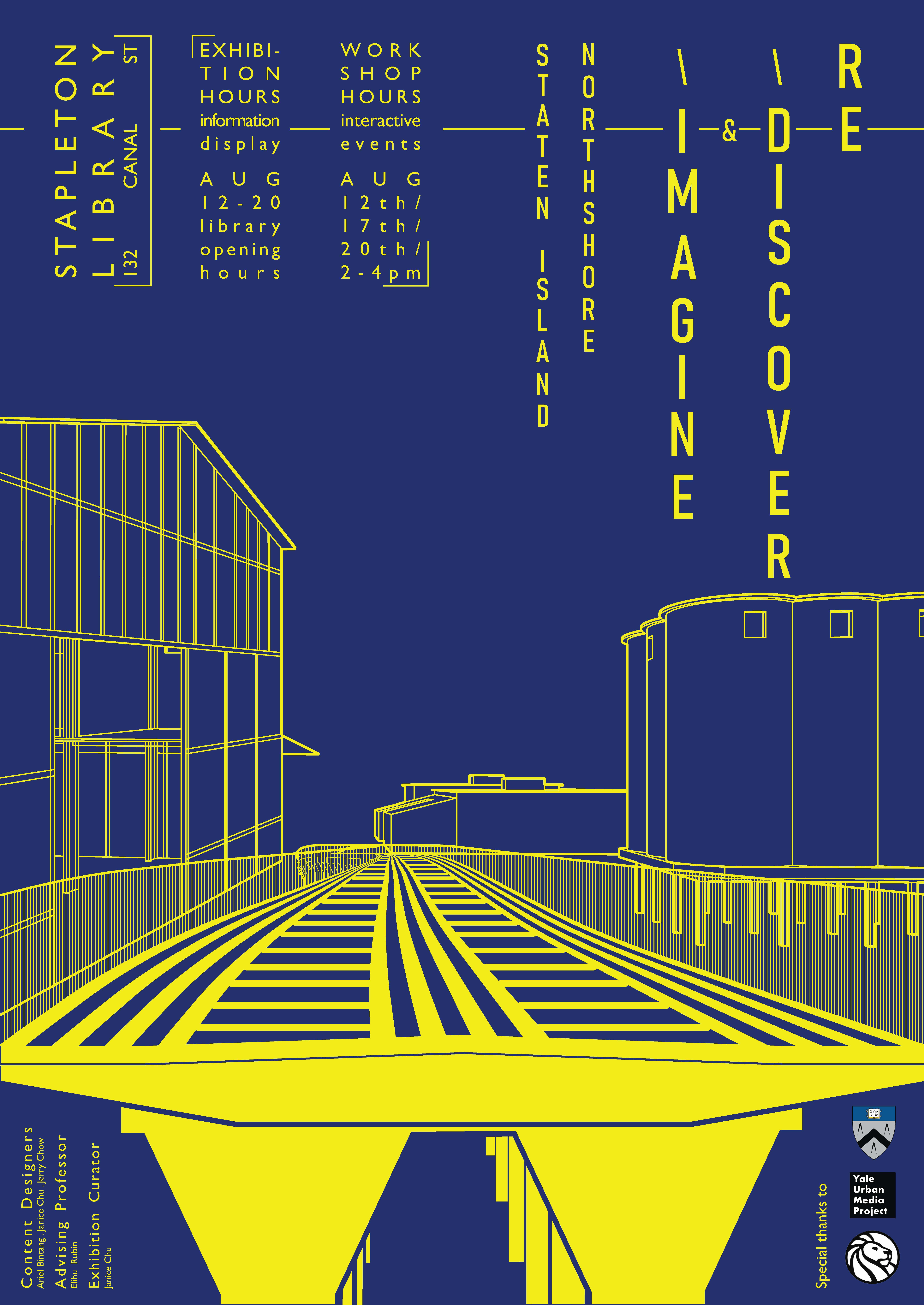
Re-Discovering and Re-Imagining the Staten Island North Shore Railroad
Staten Island’s North Shore Railroad corridor is defunct and largely disused. This project, initiated in the Core 4 Urbanism Studio at YSOA, is a research-based public engagement that questions the past, present, and future of this potentially valuable civic asset.
The work was installed at the Stapleton Branch of the New York Public Library in Staten Island, open to the public between April 12 and April 20, with two faciliated workshops.
Research: Ariel Bintang, Jerry Chow, Janice Chu
Installation Design and Workshops: Janice Chu
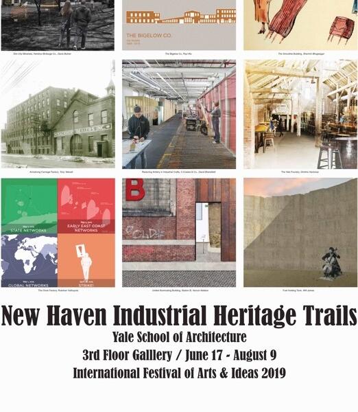
New Haven Industrial Heritage Trails: Gallery Show
3rd Floor Gallery installation at the Yale School of Architecture of the New Haven Industrial Heritage Trails, a collaboration with the International Festival of Arts & Ideas. Fourteen students in Arch 4233, Ghsot Town: Abandonment, Preservation, and the Postindustrial Landscape, created critical heritage proposals for fourteen postindustrial sites in New Haven. Read the accompanying pamphlet, PDF below, written by Elihu Rubin.
Urban Research Round Robin
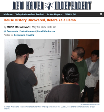
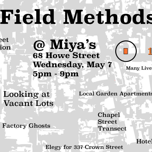
Yale School of Architecture students in Arch 4219, Urban Research & Representation, create 9 research-based and participatory exhibits for a public in the Community Room of the Ives Main Branch of the New Haven Free Public Library, 133 Elm Street; plus a shared exhibit, the Collective Memory Map. Participants get a stamp at each station and fill out the Passport.
Read the write-up in the New Haven Independent here:
Oak Street Historical Society Signage
When Route 34 was built through the heart of New Haven in the late 1950s, it meant the displacement of the Oak Street neighborhood. In 2016, YSOA students Maddy Sembler, Justin Leonard, Jason Kurzweil, and Matthew Zuckerman formed an Oak Street Historical Society to create a “historical wayfinding system,” retrieving quotations from the New Haven Redevelopment Agency archives and other sources that were used in the discourse of Urban Renewal and printing them on corrugated plastic signs.
It's Our Armory!
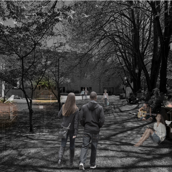
Interactive exhibit and group discussion at the Armory Community Garden.
Armory Workshop
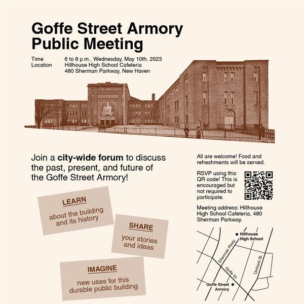
An afternoon of community gardening and interactive group activities about the past, present, and future of the Goffe Street Armory. Activities included a building scavenger hunt; history newsprint; postcards to the city; Armory power-mapping; and futures chalkboard.
Grand Avenue Interactive Mapping
In anticipation a lengthy construction closure of the Grand Avenue Bridge, the New Haven Economic Development Administration hosted an event to celebrate the bridge and engage residents in the surrounding neighborhoods of Fair Haven and Fair Haven Heights.