Field Methods on Howe
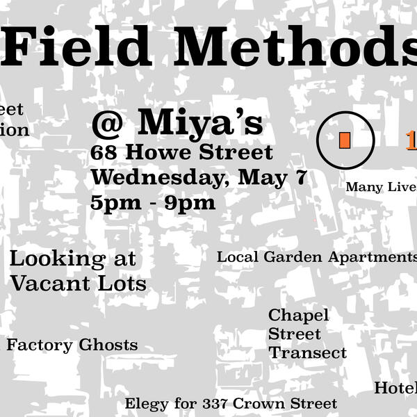
Event
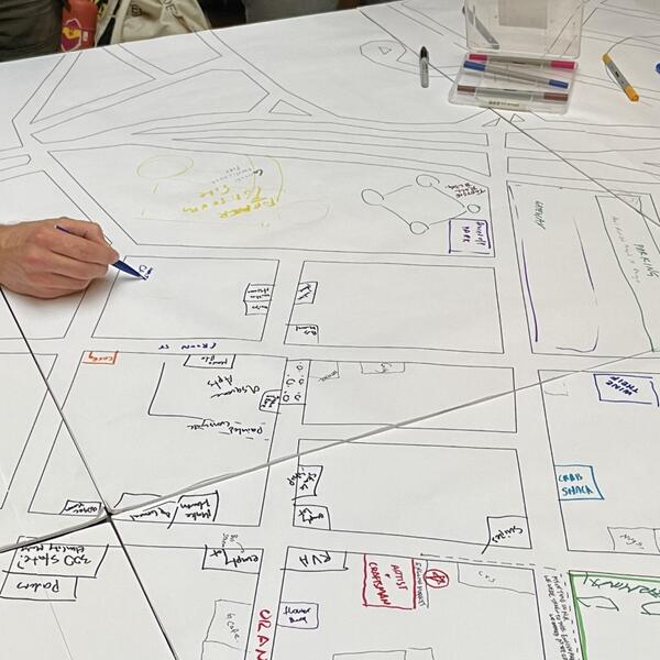
Students from the Yale School of Architecture and Yale School of Environment share their interactive, New Haven-based research projects with a public at 68 Howe Street, the Miya’s Sushi Building. Visitors received a “Participation Punch Card” which they filled out with stickers and stamps as they engaged with students and discussed their projects.
Article in the New Haven Independent features student projects, in particular Karina Encarnaçion’s study of the Miya’s Building itself: