Connecticut Mills, Rivers, and Rails
Project
January 1, 2021

Connecticut Mills, Rivers, and Rails
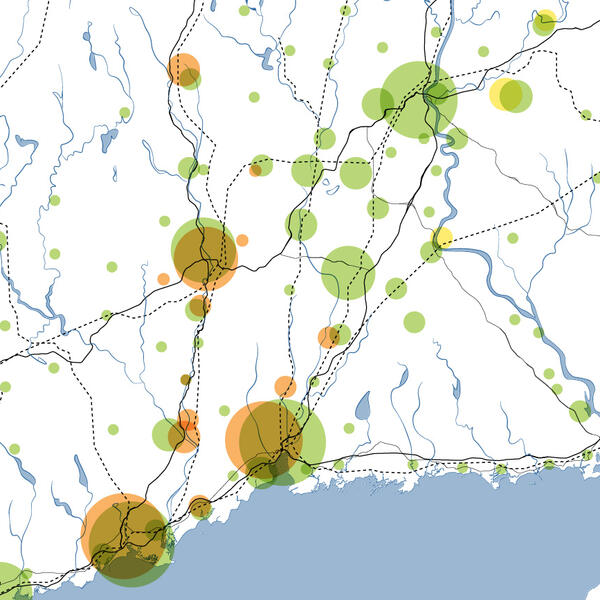
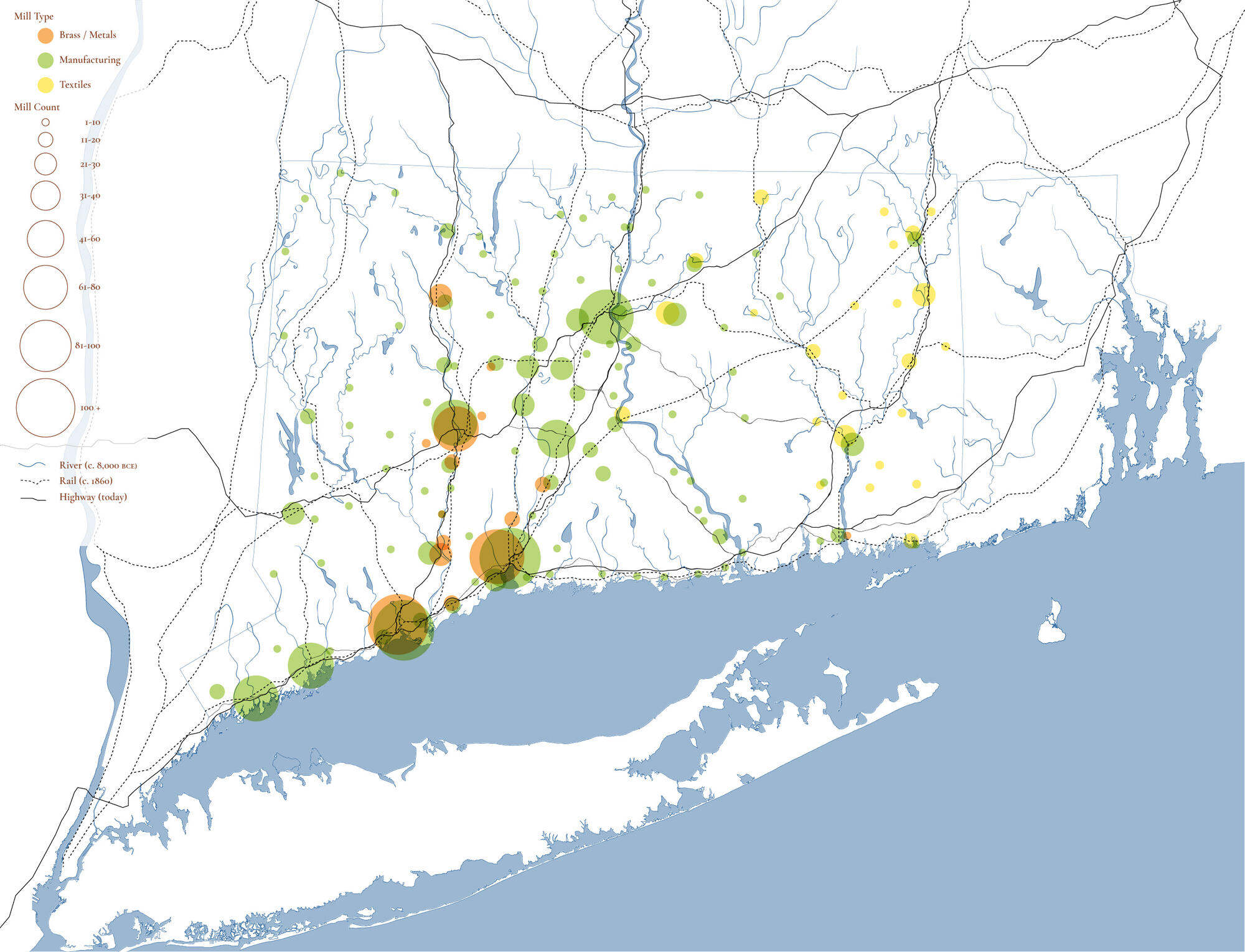
Connecticut has a rich industrial heritage. In this map, Abby Reed shows the number of mills (represented by size of circle); mill type (Orange = Brass/Metals; Green = Manufacturing; Yellow = Textiles); as well as the Rivers, Railroads, and Highways that make up the State’s basic transportation and power-delivery infrastructure.
People:
Abby Reed
Filters: